INTRODUCTION | KADYANDA | THE SURVEY | THE TEAM | SUPPORTERS 
![]()
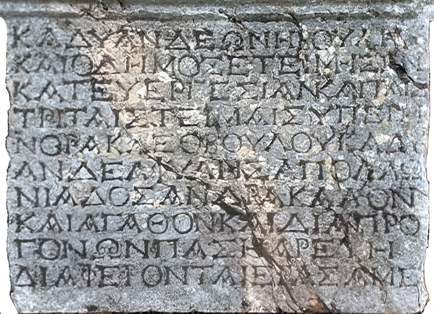
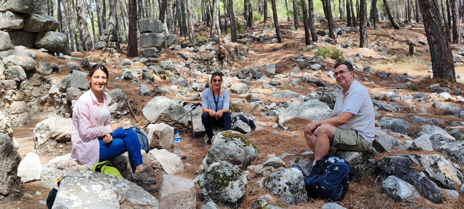
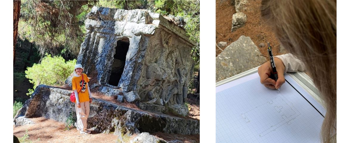
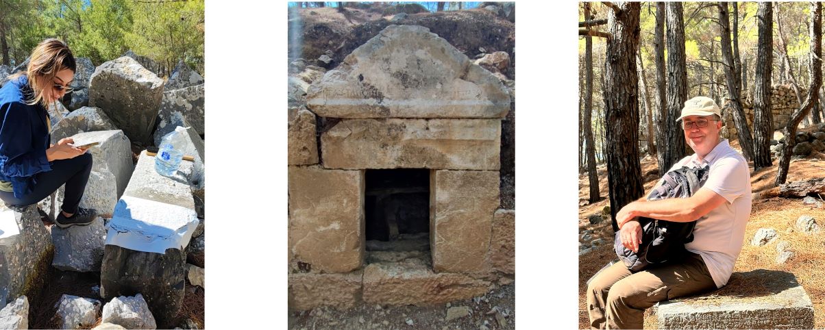
In 2024, with permission from the Turkish Ministry of Culture and Tourism, our international team began a survey of the ancient city of Kadyanda, located on Tekirlik Hill near Yeşilüzümlü in Fethiye. Previous studies of the city have been minimal, focusing on public areas, tombs and fortifications. Wolfgang Wurster's research visits in 1980 and 1996 were pivotal, identifying two phases of city walls - Hellenistic and Byzantine - and placing Kadyanda among other Lycian cities that flourished during the Roman imperial period. Wurster's settlement plan, while still widely used, is not entirely accurate and has served as the basis for more recent publications. In the 1980s, a French team visited Kadyanda, mainly to study the inscriptions found around the agora and the great avenue. This avenue was once thought to be a stadium because of its stepped border, but the team clarified its function. Although their work didn't significantly change the overall understanding of the layout of the city, All these works uncovered five Lycian and 73 Greek inscriptions. Despite these findings, there has been no comprehensive analysis of the inscriptions or their relationship to the city's buildings.
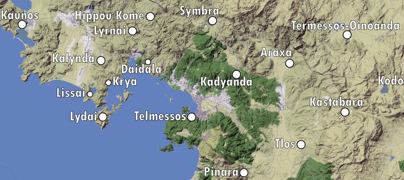
One of the primary goals of the current survey is to address several gaps, particularly regarding the transition of Kadyanda from a Lycian dynastic stronghold to a Hellenistic polis, and later its transformation into a fully urbanized city under Roman rule. Further investigation is needed into the city's development during the Byzantine period and beyond. New inscriptions, which are highly likely to be uncovered during the surveys, are expected to provide crucial information about the city’s history, as well as its connections with the surrounding region. These findings could illuminate Kadyanda's relationship with nearby settlements such as Pinara in the south and Kaunos in the west, and potentially solve long-standing questions about the structure and chronology of the Octapolis region to the north of the Gulf of Fethiye.
Kadyanda’s position within the Lycian League is another area of inquiry, as there are uncertainties about the city’s role and influence within this political alliance. Similarly, the construction of Hellenistic fortifications and the significant urban renewal observed during the Roman imperial period, particularly in the renovation of public buildings, require further exploration. The survey team hopes that interdisciplinary research, combined with a thorough analysis of new and previously known materials, will provide answers to these questions.
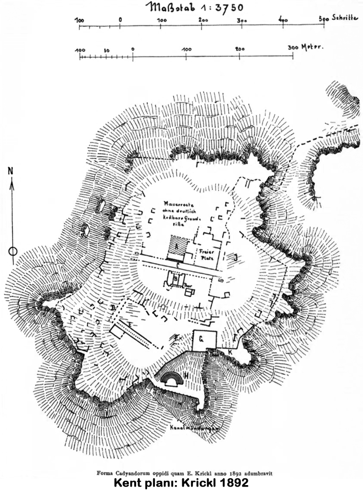
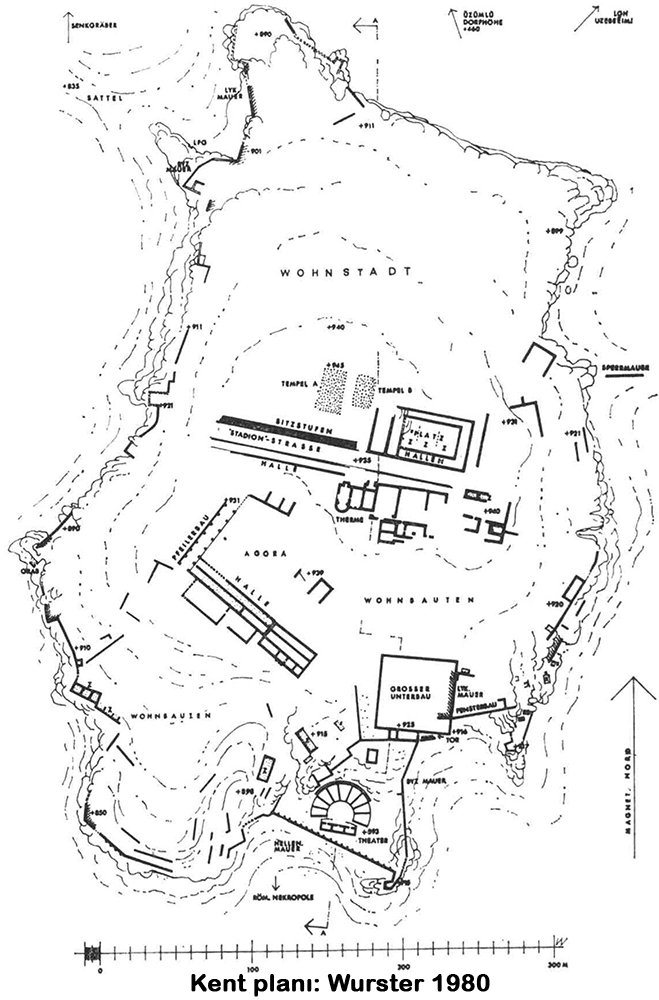
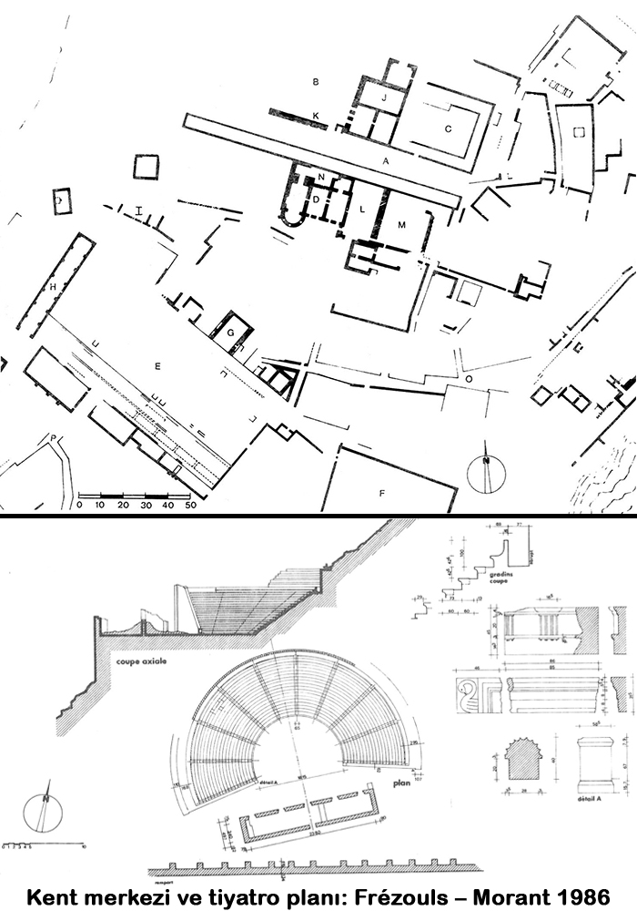
Another aim of the research is to process the inscriptions and the architectural remains of the surrounding buildings on the base map obtained with LIDAR scanning data, which was carried out by Assoc. Prof. Dr. Nusret Demir and his team with the ministerial permission of Fatih Onur and financed by the University of Cologne through Werner Tietz, and to publish the results using scientific methods. In this way, the research aims to provide a more accurate and detailed map of Kadyanda on the one hand, and to understand the historical and spatial contexts of the inscriptions used on various buildings in Late Antiquity on the other.
Son güncelleme : 21.04.2025 09:30:33
